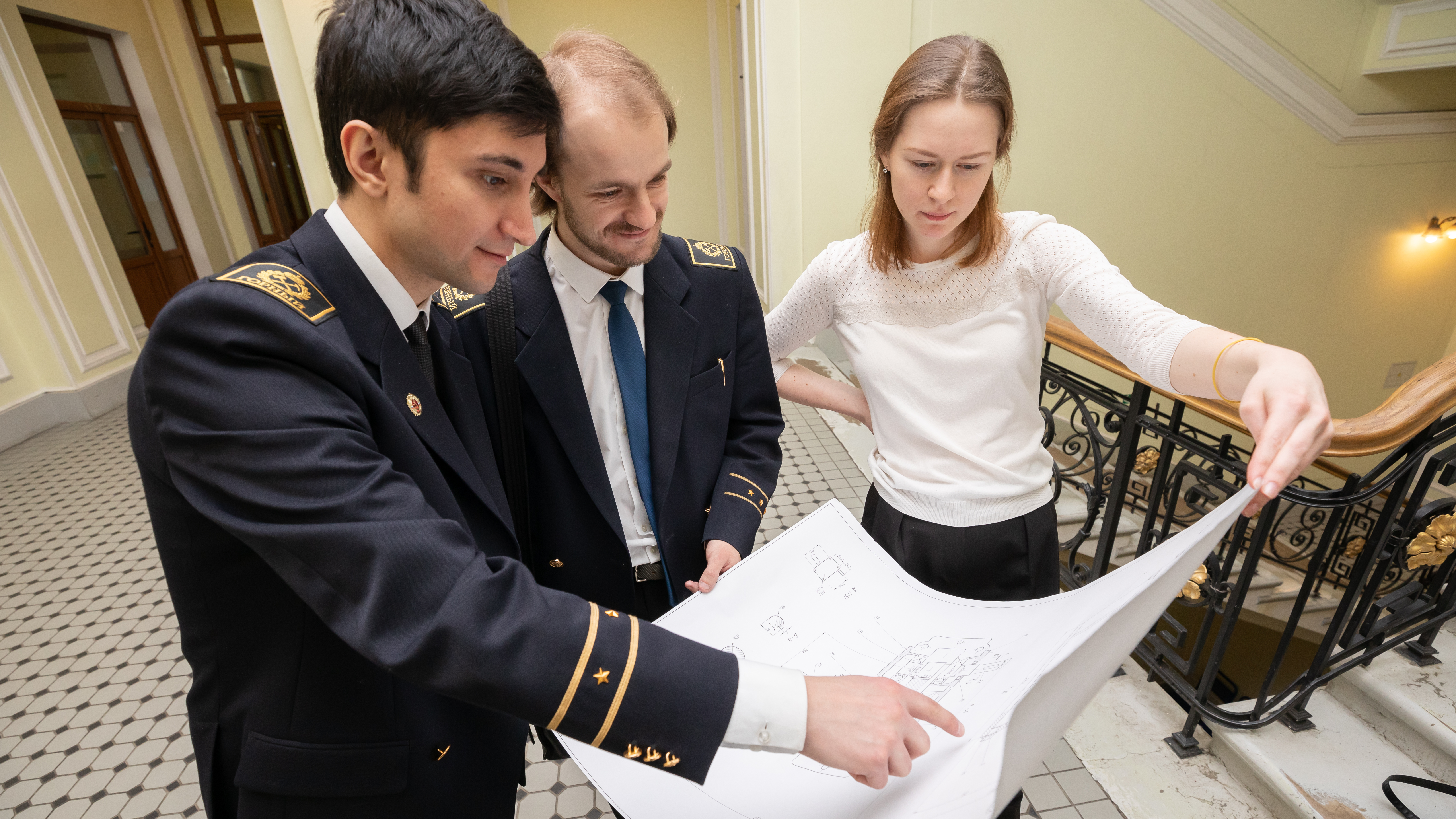
This specialization is aimed at the formation of students' competences in the field of basic land management, cadastre and real estate appraisal, urban planning and planning of other populated areas, geodesy, topography and applied photogrammetry. Students study modern legal, methodological, informational support of state cadastral registration and registration of rights to real estate, study the technologies of land cadastre documentation registration in the automated systems environment, explore the capabilities of geoinformation and land information systems for collecting, processing, storing and presenting data on inventory objects.
High demand for specialists of this qualification in the field of cadastre and real estate appraisal, land management due to the active development of the marked areas;
Quality training, providing for the ability to perform a wide range of professional activities;
Graduates have required competencies to take the exam to be certified as cadastral engineer;
Students can be engaged in scientific activities during the training courses;
Students may participate in double-degree programs with partner universities and receive internationally recognized diplomas.
Graduates of this specialization work as technical professionals and engineering personnel at design and planning departments, mining and refining facilities of such companies as Industrial Geodesy, Morion GC, Gazprom, Lukoil, Surgutneftegaz, etc. They are also employed as experts at monitoring and supervisory services.
